 Sign up with Google
 Sign in with Zoho

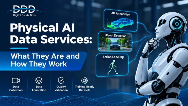
The five core capabilities in physical AI data services are model development data, scenario services, geospatial services, product verification and validation, and in-cabin AI data. Together they cover training, stress testing, mapping, release checks, and occupant monitoring. Road testing alone cannot prove safety, since autonomous vehicles would need to drive hundreds of millions of miles, and sometimes hundreds of billions (Source: RAND Corporation, 2016). This guide explains each capability, when to use it, and how the five connect into one program. Use it to decide which capability your team needs first.
What Are the Core Capabilities of Physical AI Data Services?
Physical AI data services offer five capabilities: model development data, scenario services, geospatial services, verification and validation, and in-cabin AI data. Each answers a different question. Can the model perceive? Can it handle rare events? Does it know where it is? Is it ready to ship? Does it understand the people inside?
ML Model Development Data
This capability covers data collection, annotation, VLA model analysis, and model validation. It supplies multimodal datasets for perception, prediction, localization, control, and human-robot interaction models. Most physical AI data services programs start here.
How the Five Capabilities Connect
In physical AI data services, model data feeds training. Scenario services expose weak spots. Geospatial data gives the system a map. Validation scores the result. In-cabin data covers the people. Findings from each step flow back into new data requests.
How Do Scenario Services Test Rare Events?
Scenario services find, build, and test rare safety-critical events. Teams mine real logs, curate edge cases, and generate more in simulation. They then run the system through each scenario and record how it behaves. This exposes failures that normal driving or operation almost never shows.
Simulation and Digital Twins
Simulation repeats dangerous events safely and varies one factor at a time. Digital twins copy a real site or road so engineers can test changes before field trials. Teams then check that simulated results match real tests.
Edge Case Curation
Curators search logs for odd objects, unusual behavior, and sensor failures. They label each case and add it to a scenario library. Rare-event annotation, such as sudden occupant movement inside a cabin, follows the same process.
ODD Analysis
An operational design domain (ODD) defines where a system may operate. ODD analysis lists the conditions inside that boundary and checks that data covers each one. Gaps become collection tasks. SOTIF (ISO 21448) pushes teams to document this coverage.
What Do Geospatial Services Add to Physical AI?
Geospatial services turn aerial, satellite, and ground-level inputs into precise map layers. Robots and vehicles use those layers to localize, plan paths, and build digital twins. The maps give the system context that sensors cannot read on every frame.
HD Maps and Sparse Maps
HD maps hold lane geometry, signs, and signals at high accuracy. Sparse maps keep only the landmarks that driver-assistance features need, which cuts storage and update cost. Annotators trace each element from imagery and point clouds, then check alignment against survey data.
Map Issue Triage and Geointelligence
Maps change. Triage teams review reported errors, such as a moved sign or a new lane, and decide which ones need a fix. Geointelligence analysis adds terrain, land use, and change detection for outdoor robots. Teams that plan a physical AI data program treat maps as living data, not a one-time delivery.
How Do Verification and In-Cabin Data Prepare Systems for Release?
Verification and validation score a system against ground truth, safety rules, and performance targets before release. In-cabin data trains and tests the parts that watch people, such as driver monitoring. Together they show that the system works and that it treats occupants safely.
Performance Evaluation and Safety Cases
Engineers measure detection, tracking, and prediction against verified labels. A safety case then links each claim, such as detecting pedestrians at night, to test evidence. Reviewers read that case before they approve release.
In-Cabin Occupant and Driver Data
Driver monitoring needs labels for gaze, eyelid closure, head pose, posture, and hand position. The EU requires driver drowsiness and attention warning systems in new vehicles, phased in from 2022 for new types and 2024 for all new vehicles (Source: European Union, 2019). That rule makes labeled behavior data a compliance input.
Conclusion
Physical AI data services work best as one connected program. Model data teaches perception. Scenario services expose weak spots. Geospatial layers give context. Verification proves readiness. In-cabin data protects the people inside. Each capability feeds the next, and failures at the end send requests back to the start. The sequence matters less than the loop: test, learn, collect, and test again. Programs that skip the loop ship blind spots. As systems take on more tasks in more places, those blind spots will cost more. Which of the five capabilities is your program weakest in today?