 Sign up with Google
 Sign in with Zoho

Understanding how buyers evaluate land is one of the most useful things a seller can do before listing. Land buyers today are more informed, more strategic, and more focused on usability than at any previous point. They arrive at a listing having already reviewed county assessor records, compared recent comparable sales, confirmed zoning, and researched access rights. A seller who understands what buyers are checking - and who has answers ready - closes faster and with fewer delays than one who leaves buyers to find those answers on their own.
Access: The First Thing Serious Buyers Confirm
Legal, year-round access to a public road is the baseline requirement for most land buyers. Before evaluating any other characteristic, a serious buyer confirms whether the parcel has direct frontage on a public road or whether access relies on a recorded easement across neighboring land.
A parcel without confirmed legal access is functionally unusable for most buyers regardless of how attractive its other features are. Sellers who can produce a recorded easement document or confirm direct frontage on a county-maintained road remove one of the primary barriers to buyer engagement at the first inquiry.
Buyers also evaluate the quality of access, not just its legal existence. A paved county road is worth more than a maintained dirt road, which is worth more than a seasonal route that becomes impassable in winter. Sellers in rural markets where access quality varies by season benefit from proactively documenting road conditions across different times of year.
For sellers who want to understand what access documentation buyers typically request, a guide to property easements explains the different easement types and what each means for a buyer evaluating how to reach the parcel.
Zoning: What the Land Can Actually Be Used For
Zoning determines what a buyer can legally do with the parcel, and it is the variable that most directly connects land to its intended use. Residential buyers confirm minimum square footage requirements and permitted structure types. Agricultural buyers verify what farming, livestock, or rural residential uses are allowed. Investors evaluate density potential and development entitlement feasibility.
Sellers who have confirmed their parcel's current zoning classification and gathered documentation from the county planning department are better equipped to answer buyer questions quickly and accurately. Misstating zoning - even informally - creates problems at closing if the buyer's due diligence surfaces a discrepancy.
Understanding zoning and land use fundamentals helps sellers interpret their parcel's classification correctly before listing, so they describe what the land permits accurately and consistently across all buyer communications.
Physical Characteristics: What Buyers Evaluate on the Ground
Topography is a consistently important physical variable across buyer types. Flat, stable terrain ranks high among buyer priorities for residential, agricultural, and recreational use cases. Steep slopes, floodplain issues, or unstable ground increase development costs and reduce the pool of buyers who will seriously pursue a parcel.
Soil quality is a primary value driver for agricultural and rural land buyers. The USDA Natural Resources Conservation Service maintains the Web Soil Survey, a publicly accessible tool that buyers use to assess productivity potential before making an offer. Sellers of agricultural parcels who know their soil classification are better positioned to answer buyer questions during due diligence rather than leaving them to conduct the research independently.
Water access is a feature buyers across most land types evaluate early. Reliable water sources, whether a municipal connection, well, or surface water with documented rights, attract buyer attention. Confirmed well test results and documented water rights answer buyer questions proactively and reduce the likelihood of delays during the due diligence period.
For sellers with agricultural parcels, understanding soil scores and productivity data helps position the parcel's agricultural characteristics accurately before listing rather than leaving interpretation to the buyer.
Environmental Constraints: What Buyers Research Before Closing
FEMA flood zone coverage is a standard buyer check before any offer is made on rural or semi-rural land. Buyers use the FEMA Flood Map Service Center to confirm whether any portion of a parcel falls within a regulated flood zone. Sellers of parcels with partial flood zone coverage benefit from knowing precisely which portions are affected and being prepared to discuss that clearly rather than leaving a buyer to discover it during due diligence.
The FEMA Flood Map Service Center provides free public access to Flood Insurance Rate Maps for any property address in the United States. Sellers whose parcels sit near waterways or in low-lying areas should review their flood zone status before listing, so they can address the question accurately when buyers ask.
Wetland delineation, conservation easements, and deed restrictions are additional constraints buyers research during due diligence. Sellers who are aware of these limitations and disclose them proactively avoid the risk of a deal collapsing when the buyer's title company surfaces an issue the seller did not mention at the outset.
Pricing: What Buyers Already Know Before They Arrive
Land buyers research comparable sales before making an offer. Platforms that aggregate parcel data give buyers access to recent transaction data, price per acre trends, and market context that was previously available only to professionals with proprietary data access.
A seller whose listing price is significantly above recent comparable transactions in the same county and land use category should expect buyers to arrive with that data in hand. Sellers who have done their own comparable research before listing, and who can articulate why their asking price is supported by the evidence, are in a stronger negotiating position from the outset.
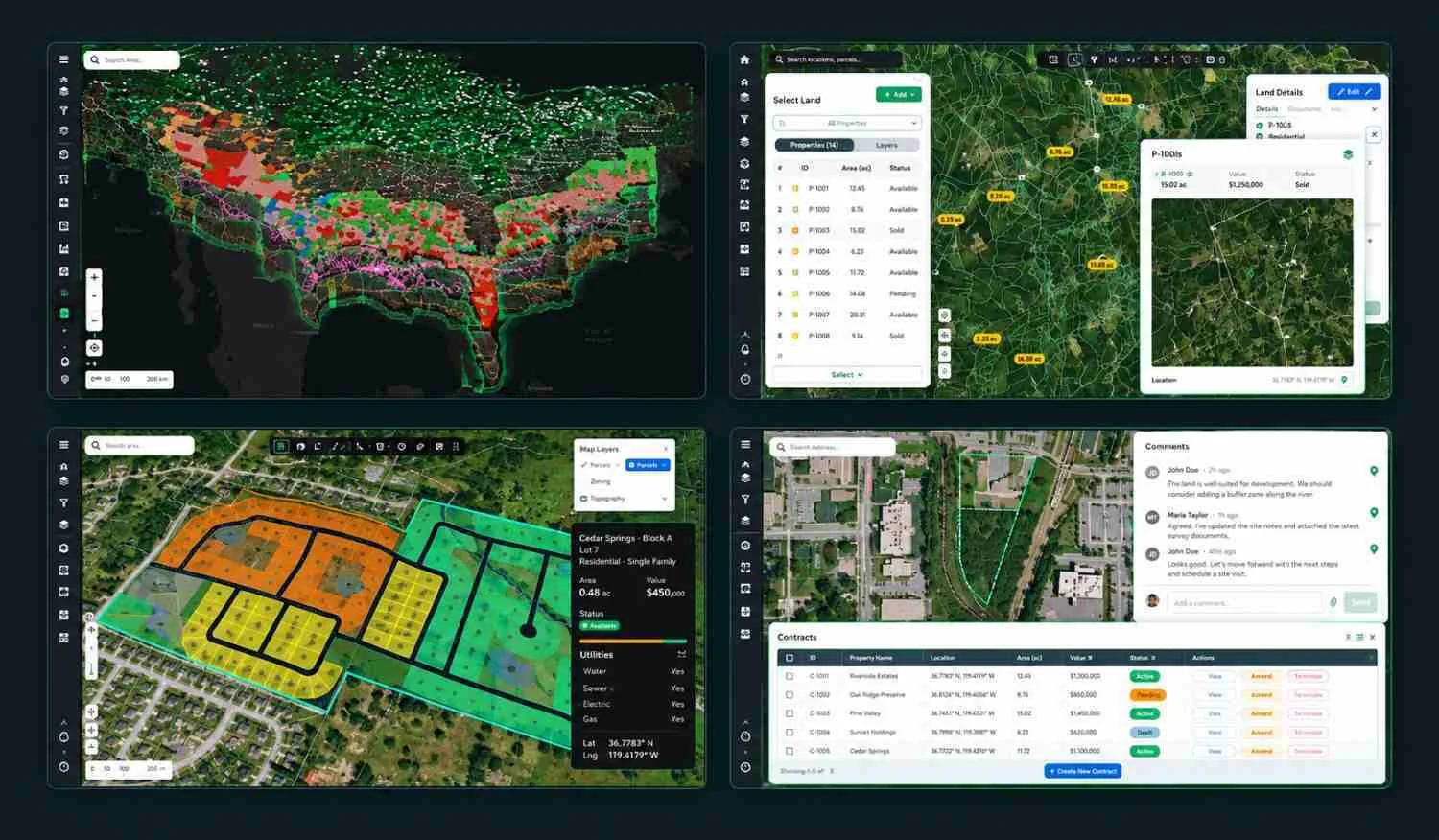
Acres.com provides access to parcel-level data, comparable sales, and market context across more than 150 million US parcels, and it is one of the resources buyers use to evaluate listings before they make first contact with a seller.
Conclusion
Buyers evaluate land on access, zoning, physical characteristics, environmental constraints, and pricing - roughly in that order of priority. Sellers who have researched each of these before listing, and who have documentation ready to answer buyer questions at each stage, consistently close faster and with fewer surprises at the back end of the transaction. For sellers who want to understand how buyers approach the full due diligence process, how to buy land step by step provides the buyer's complete workflow and helps sellers anticipate exactly what questions will be asked before closing.